Karabakh, Azerbaijan
Project Type
City Planning and Master Plan
Location
Karabakh, Azerbaijan
Year
2022
Project Service
City Planning to Construction
Project Status
Ongoing
Total Area (m²)
6167400.00
Total Construction Area (m²)
441612.00
Employer
ARXKOM
Tags
Post Disaster Housing, Social Housing
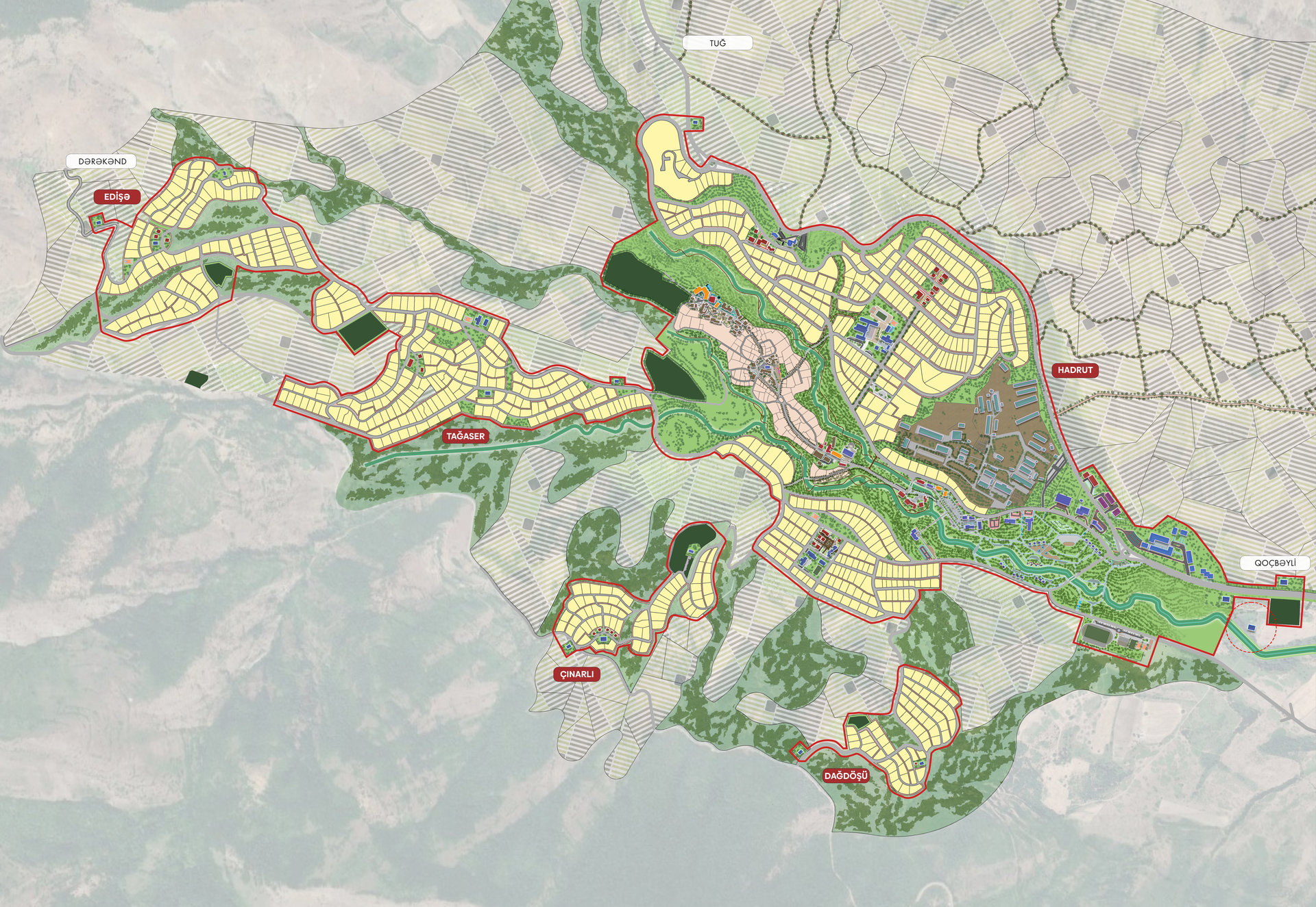
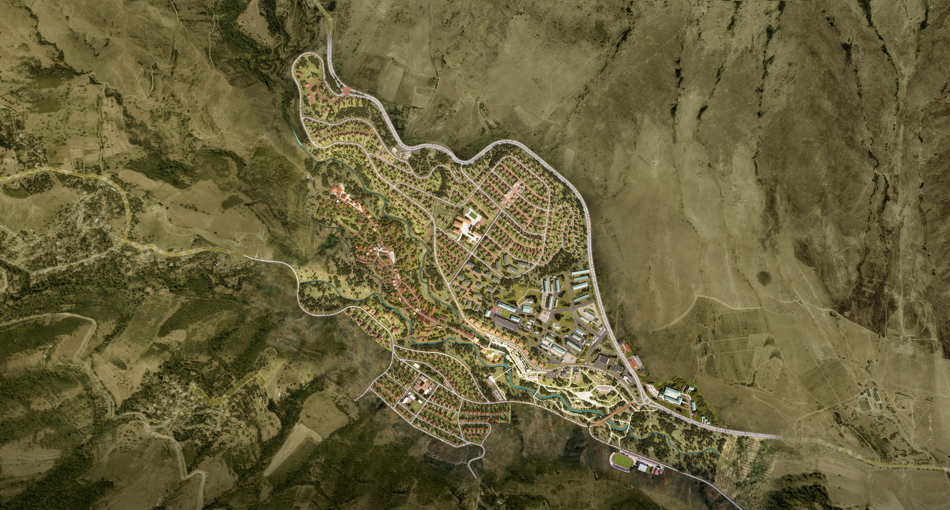
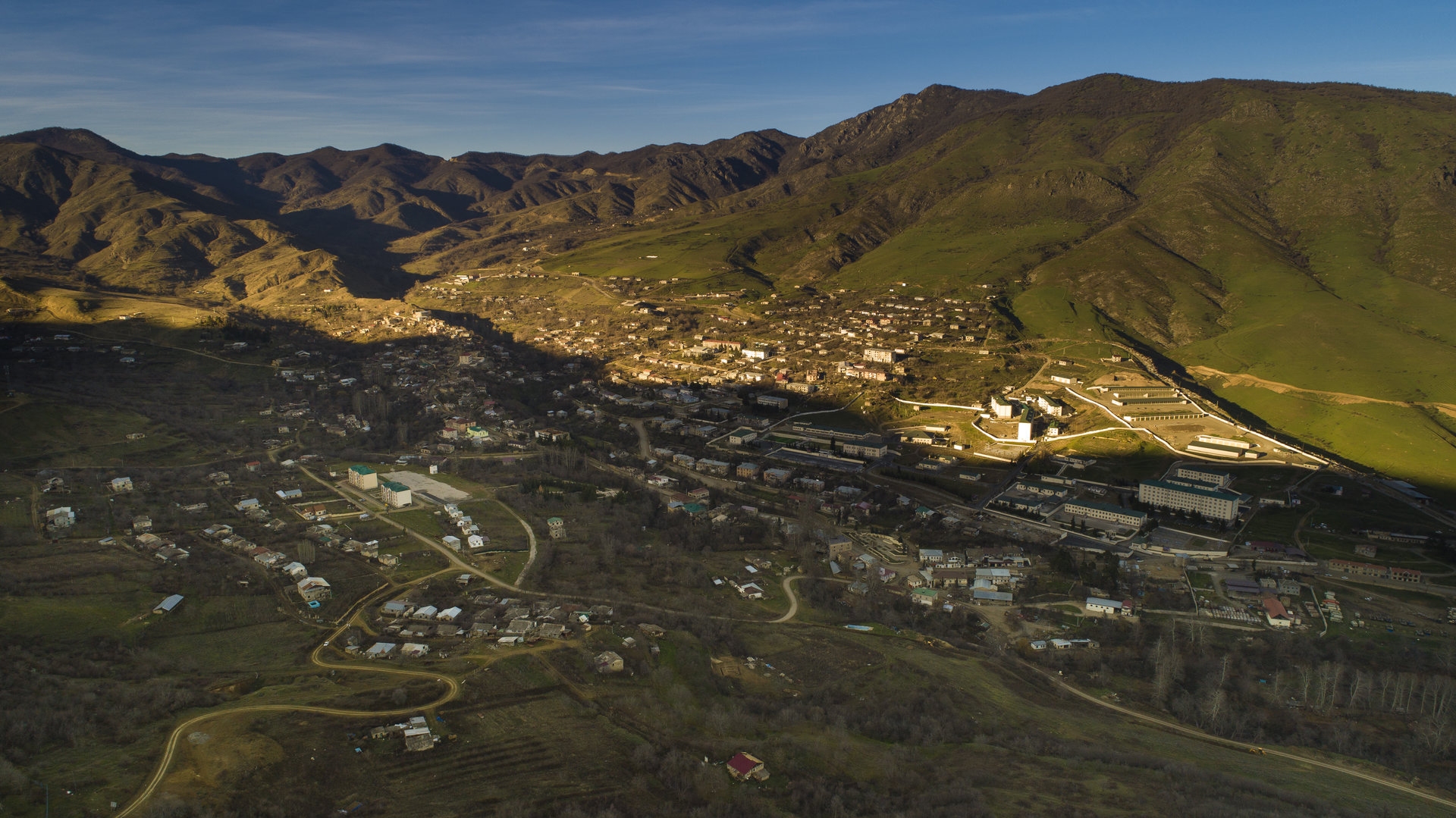
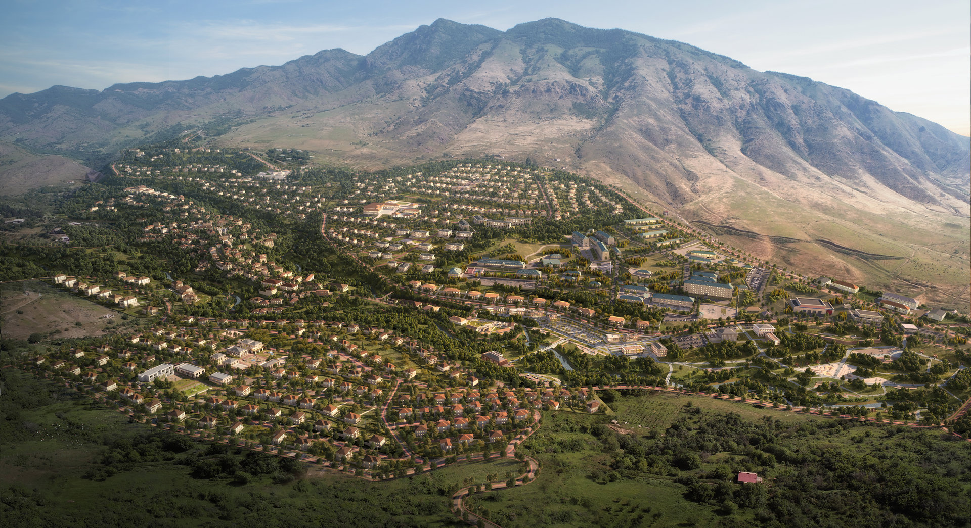
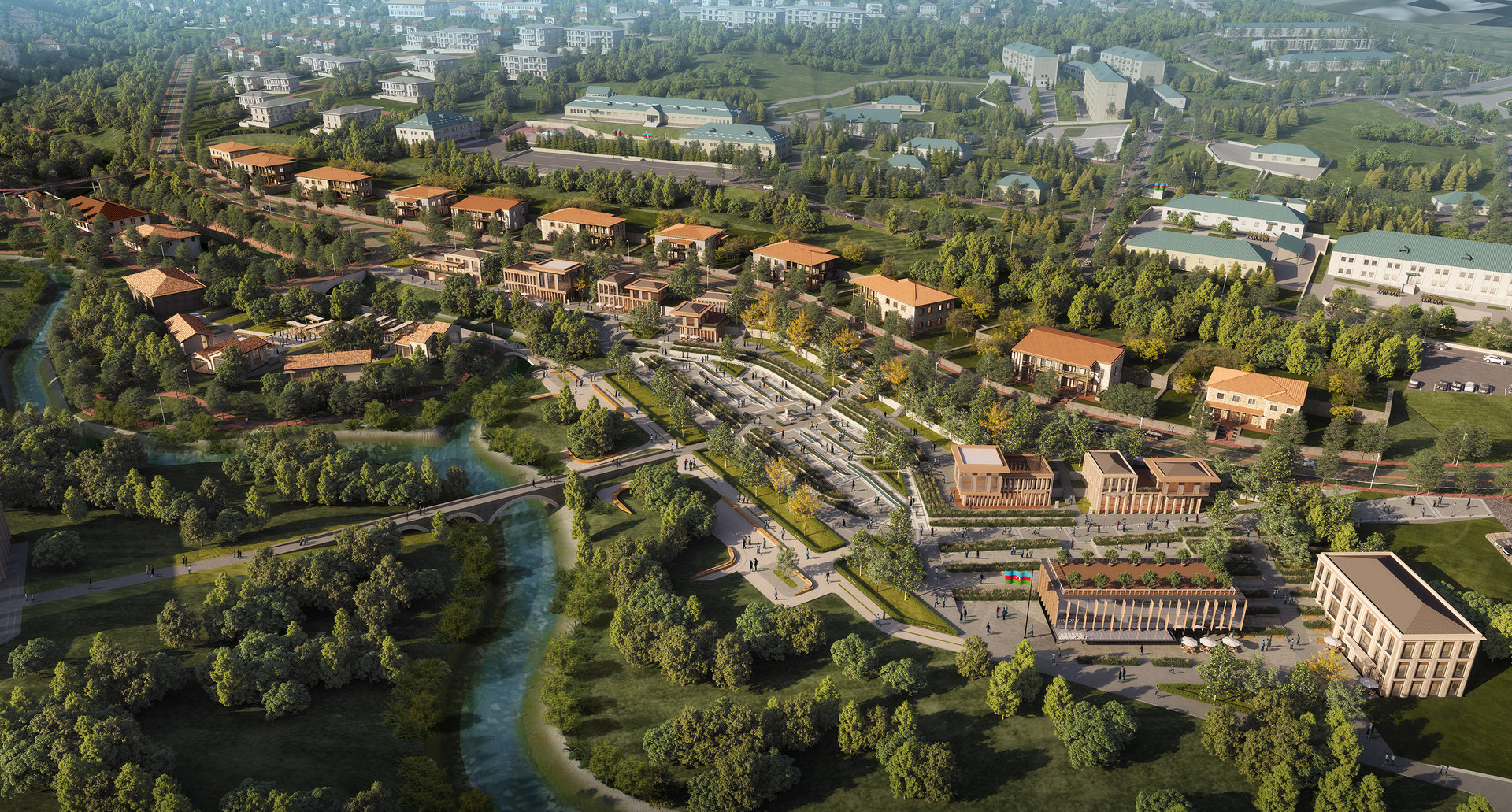
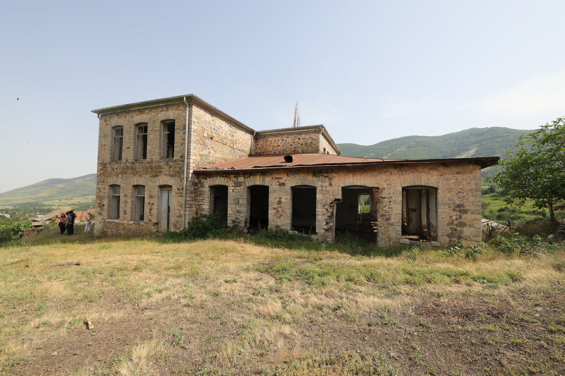
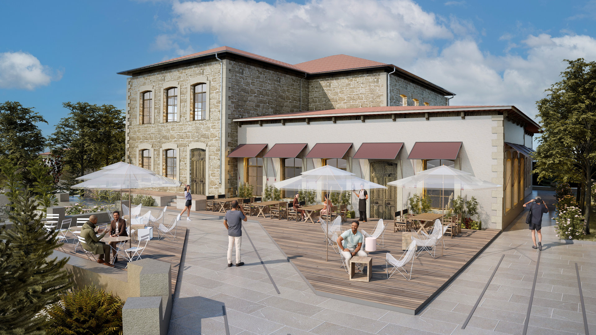
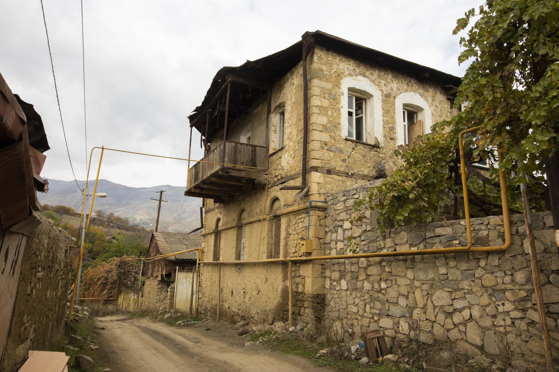
The Hadrut Masterplan outlines a multidimensional framework for the post-conflict regeneration of a historically rich yet war-torn geography. Nestled within the mountainous topography of the Khojavend District in Karabakh, the region bears traces of layered land uses—military, agricultural, and cultural—each serving as a foundation for a future-forward urban scenario. This masterplan navigates between honoring past resilience and cultivating new socio-economic structures rooted in self-sufficiency.
Topographical and Ecological Foundations
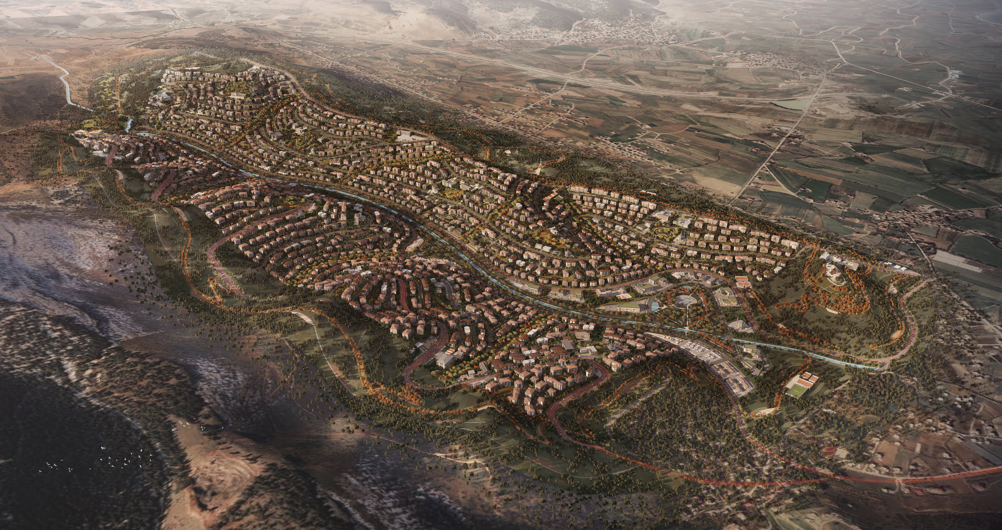
Positioned between the Greater Caucasus ridges, the project area spans elevation gradients from 500 to 1,770 meters, with key settlements such as Hadrut, Tuğ, and Dagdaşu situated across forested valleys and sloped basins. The presence of the Gozluchay river and seasonal tributaries shapes a vital hydro-ecological matrix, forming the backbone of agricultural viability and green infrastructure planning.
Ecological zones have been classified to include:
- Mountain broadleaf forests
- Steppe vegetation and cultivated belts
- River-fed irrigation corridors
These systems not only provide spatial thresholds for development, but also inform zoning typologies across residential, agricultural, and tourism-based functions.
Programmatic Layering & Strategic Clustering
Based on the existing natural infrastructure, the masterplan introduces four strategic axes of development:
- Military Memory & Urban Identity
Designated heritage and military zones are preserved as cultural anchors, reinforcing Hadrut’s role as a “heroic settlement.” These sites are supported by commemorative programs and adaptive reuse scenarios. - Agricultural and Industrial Revitalization
The rehabilitation of farmlands and small-scale industrial zones restores economic autonomy. Agricultural parks, fruit and vegetable storage hubs, and livestock corridors form the productive landscape infrastructure of the region. - Cultural & Traditional Center Development
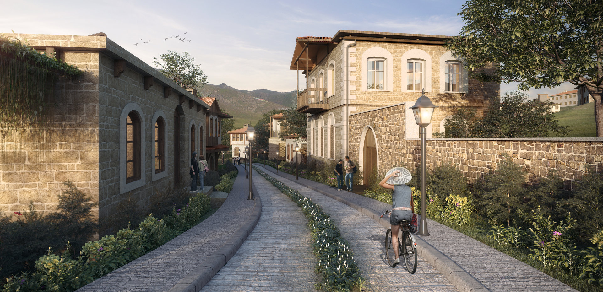
Revitalizing the historic urban cores of villages such as Tuğ and Edisha, the plan introduces town markets, cultural institutions, and educational facilities. These elements foster civic life while preserving architectural continuity. - Smart Settlement Framework
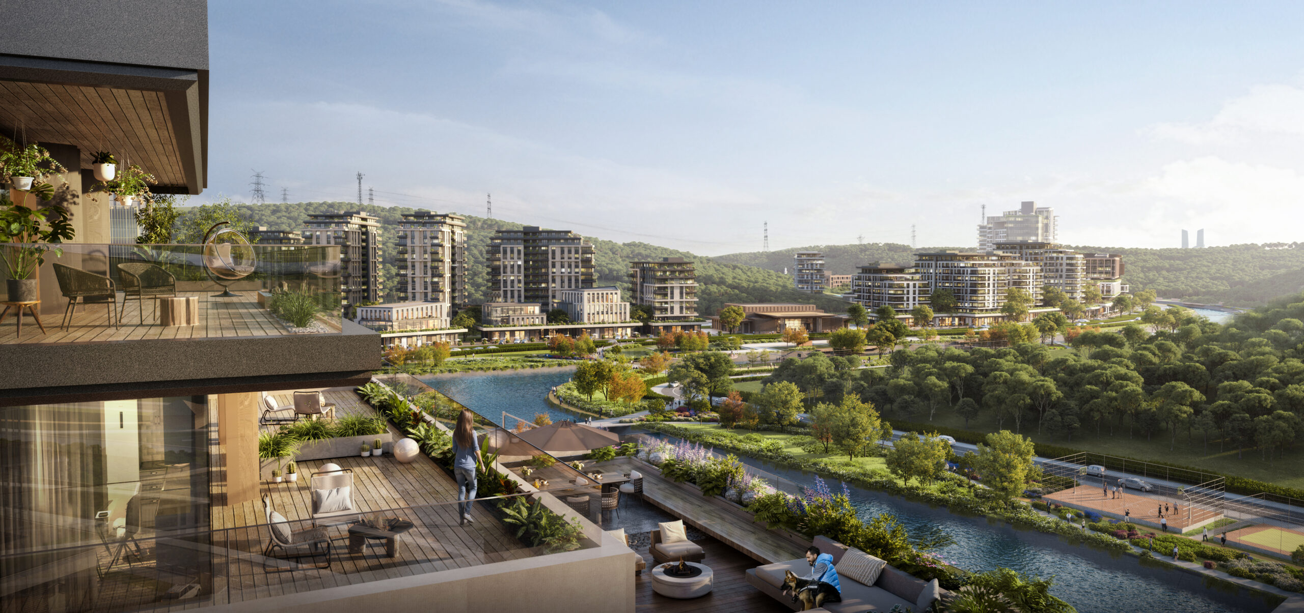
Future-oriented urban zones prioritize resource management, digital infrastructure, sustainable mobility, and smart governance. These areas function as experimental nodes within the broader masterplan. - Land Use and Functional Integration
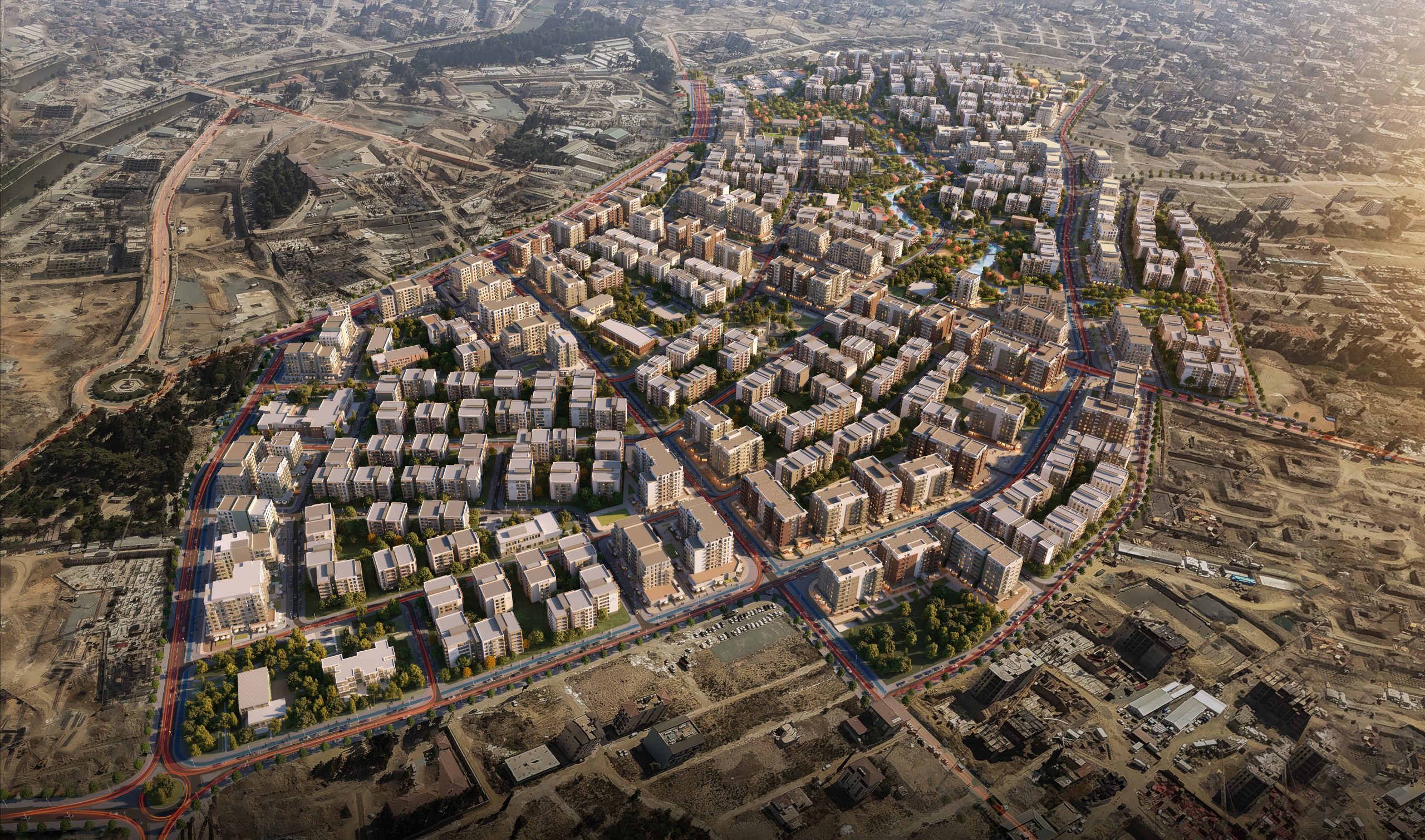
The masterplan creates a patchwork of land use—seamlessly integrating administrative centers, health campuses, educational zones, mixed-income housing, and employment areas across a dispersed village network. Residential areas are situated at slope-friendly plateaus, while flatlands are reserved for agriculture and logistics. Historical patterns of dispersed rural living are reinterpreted through accessible mobility and centralized service hubs.
Sustainability & Landscape Continuity
- A continuous green belt binds the fragmented village clusters, ensuring ecological and visual cohesion.
- Passive strategies guide building orientation, natural ventilation, and water harvesting.
- Public infrastructure, such as sports facilities and medical centers, are clustered within 15-minute walking distances from neighborhood cores.
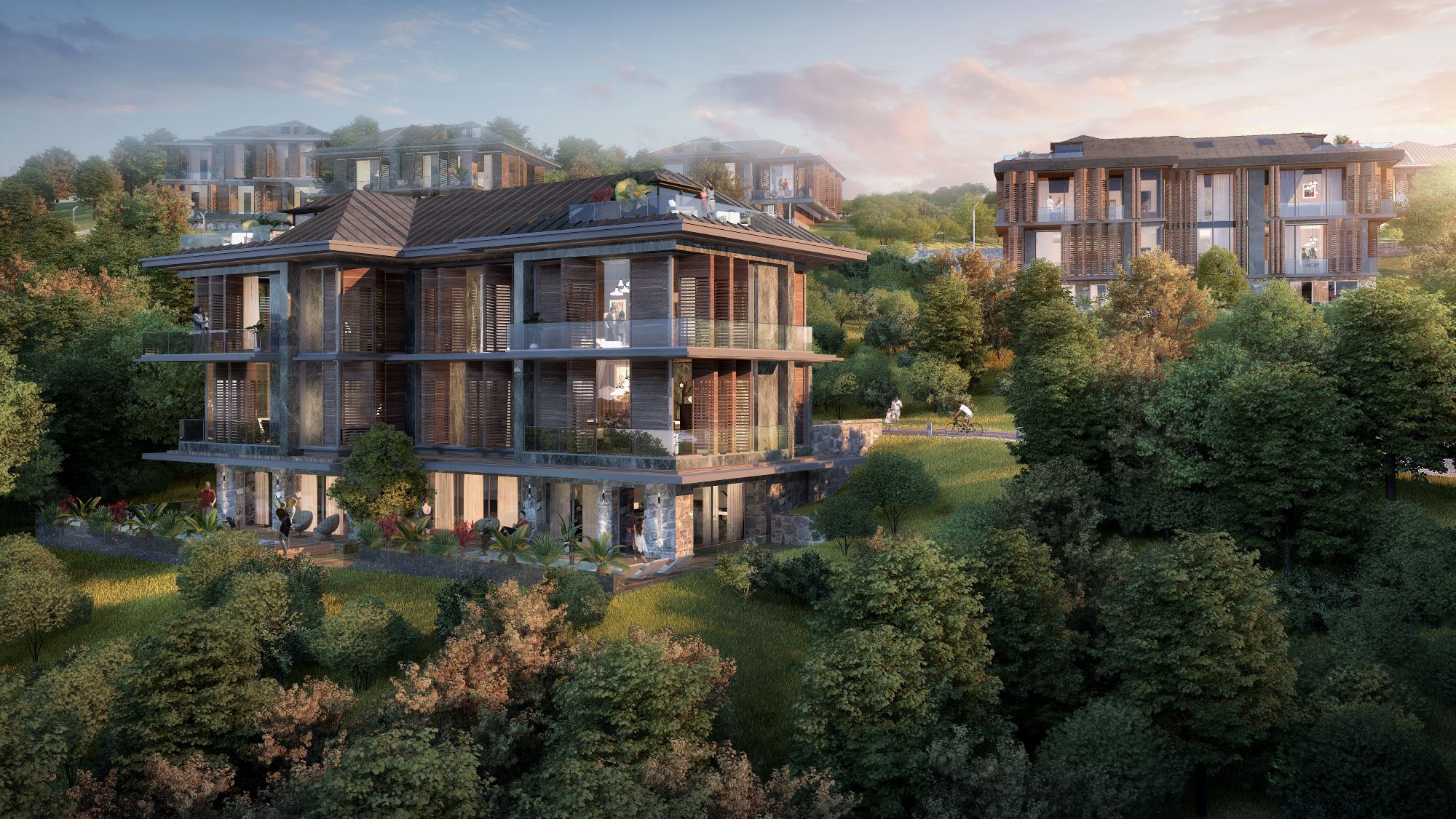
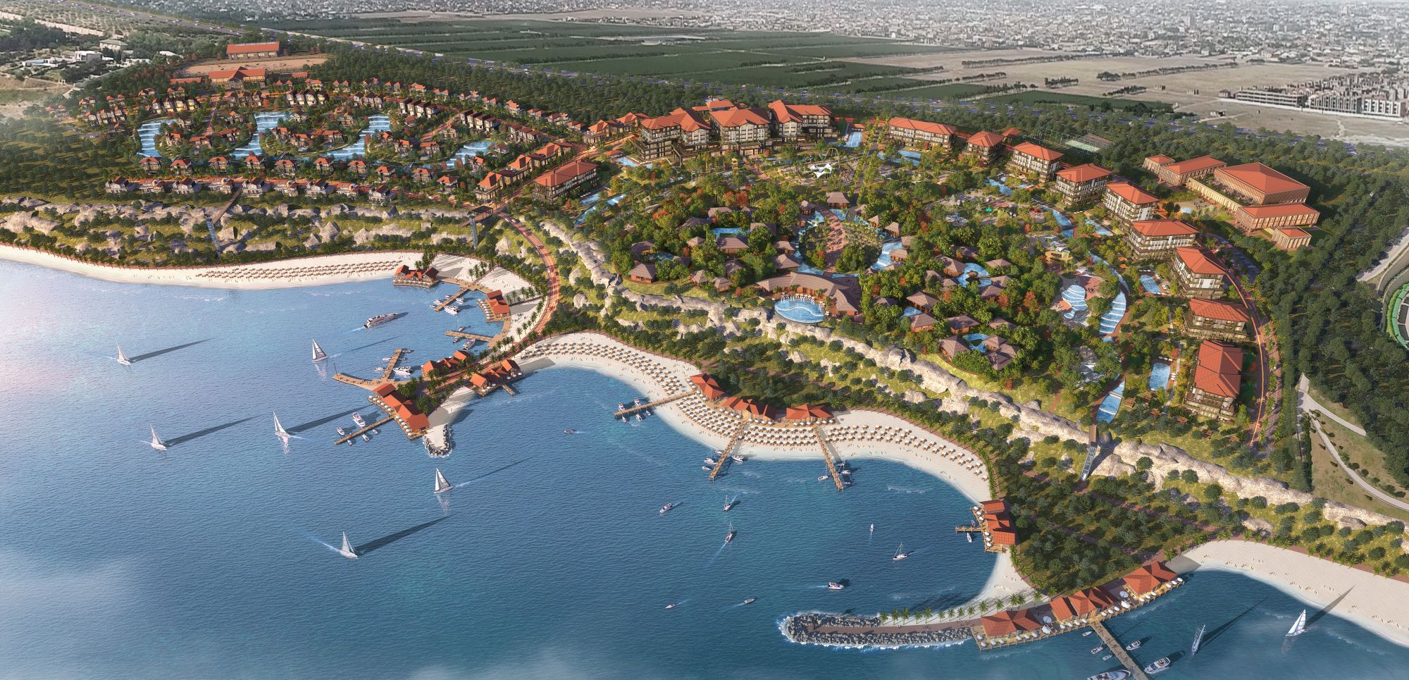
Gallery