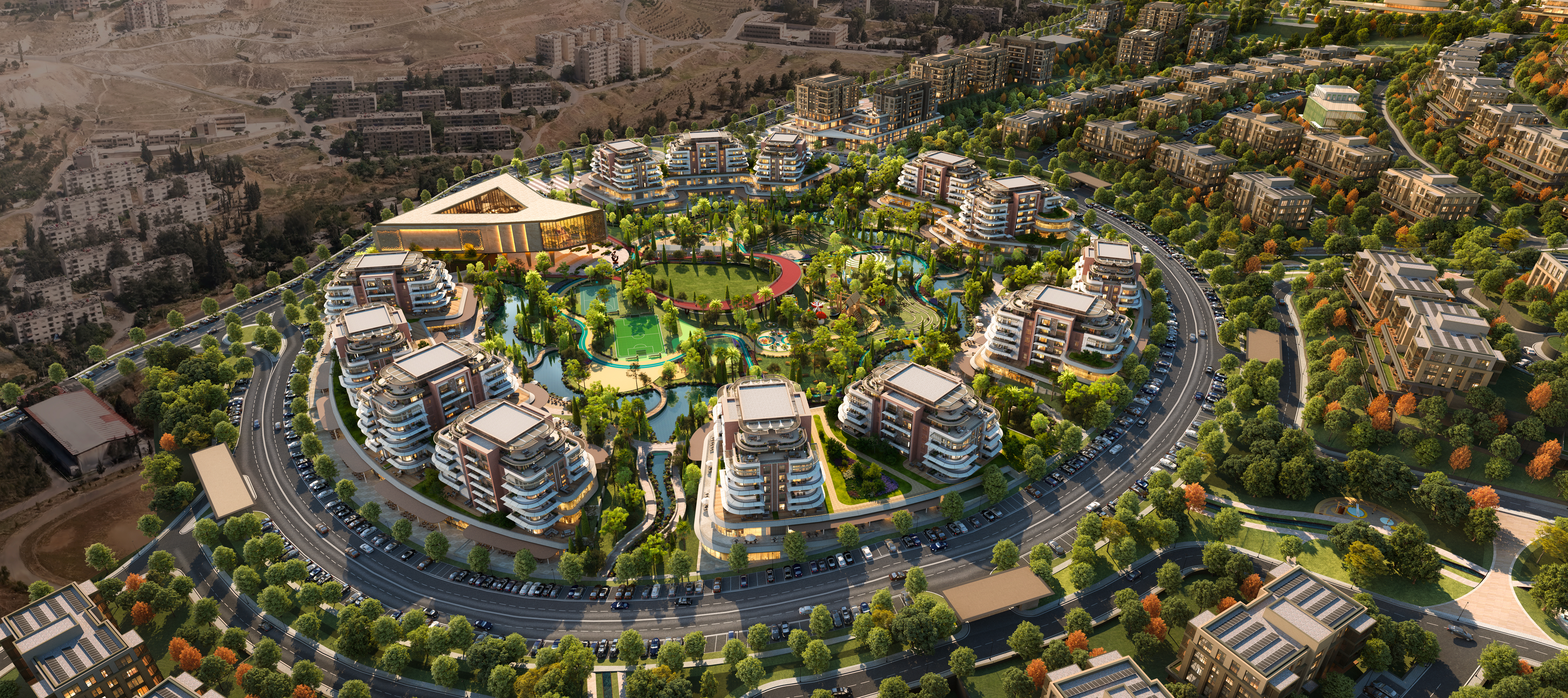
Damascus, Syria
Project Type
City Planning and Master Plan
Location
Damascus, Syria
Year
2026
Project Service
Masterplanning, Urban Design & Concept Design
Project Status
Concept master plan
Total Area (m²)
1,782,100 m²
Employer
Thara (Thara Urban Development), Saudi Arabia
Public partner
General Housing Establishment, Syria
Patronage
Ministry of Public Works and Housing, Syria
Launch
24 August 2026, Conference Palace, Damascus
Site area
Site area 1,782,100 m² (178 hectares)
Development plot area
984,612 m²
Total gross floor area
1,259,931 m²
Floor area ratio
1.28
Landscape / footprint
75% landscape — 20% building footprint — 5% other
Residential
7,500 homes
Commercial & hospitality
More than 2,000 units
Target population
More than 22,000 residents
Social infrastructure
More than 7 schools, healthcare facilities, mosques, cultural and community centres
Phasing
10 phases — Jabal 1–6, Rawda 7–10
Sham View Masterplan in Damascus
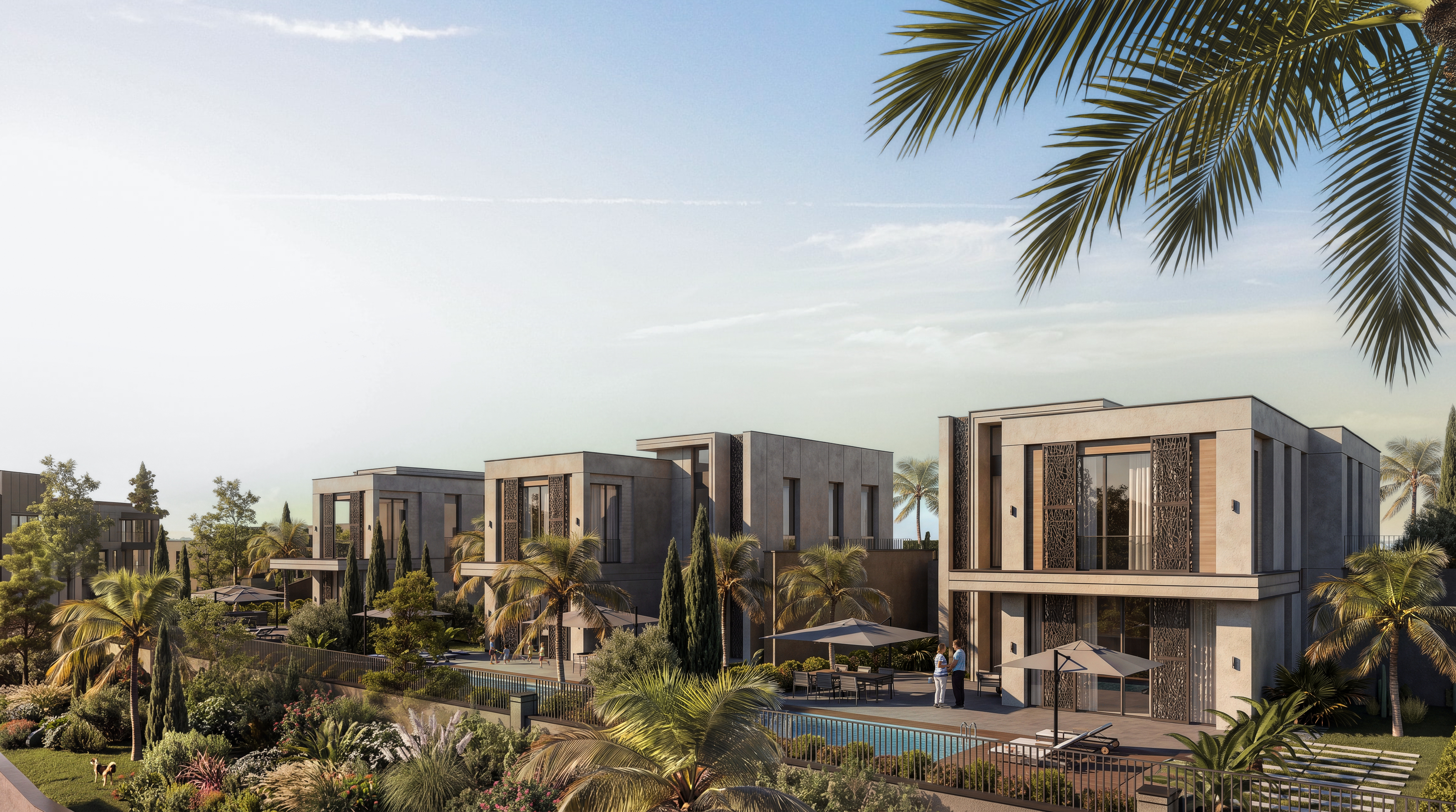
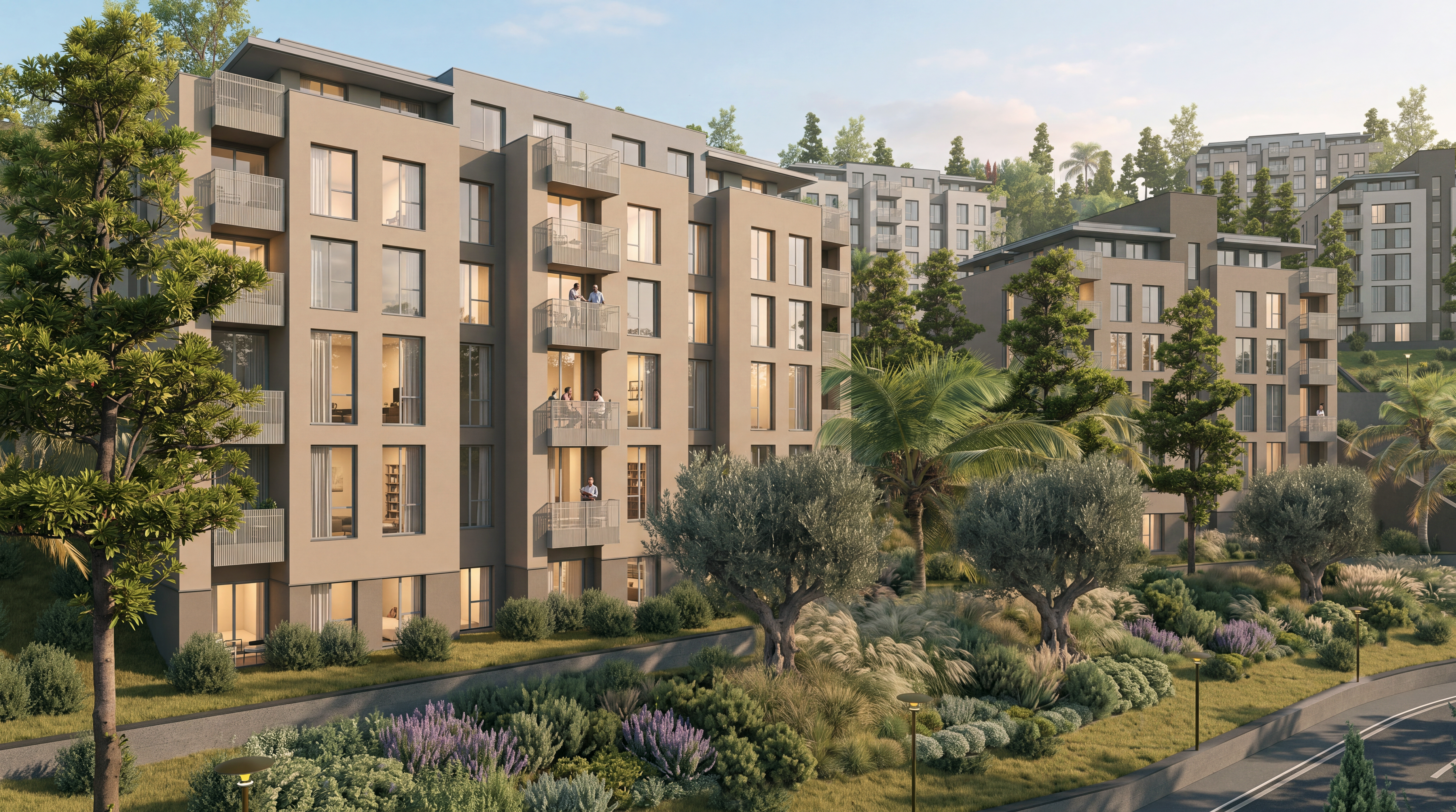
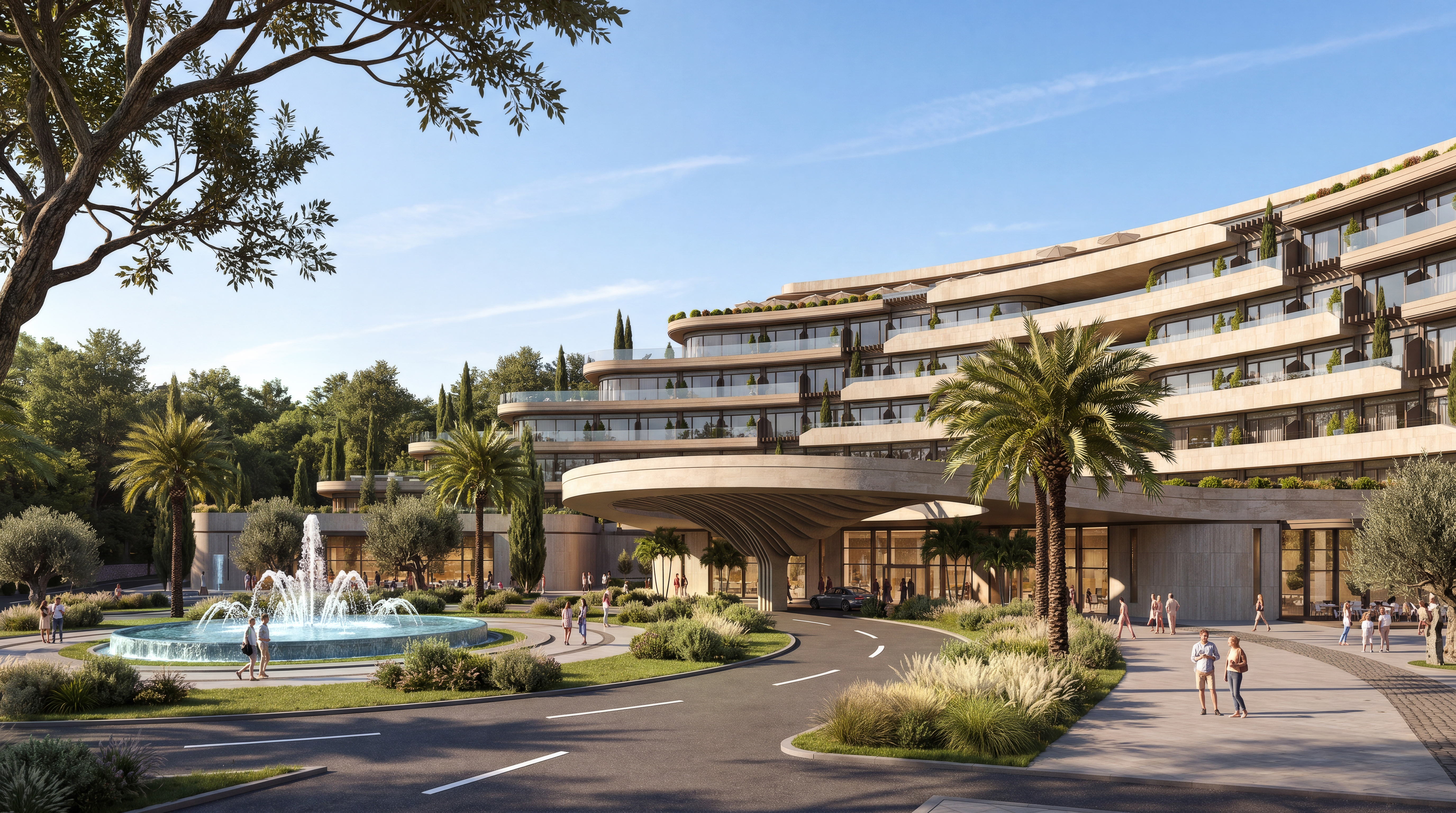
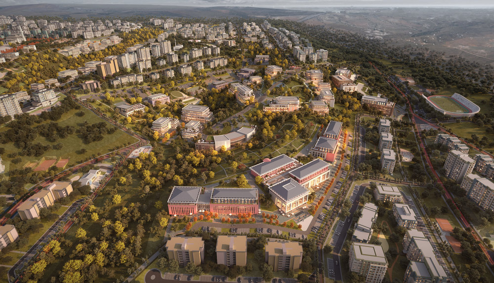
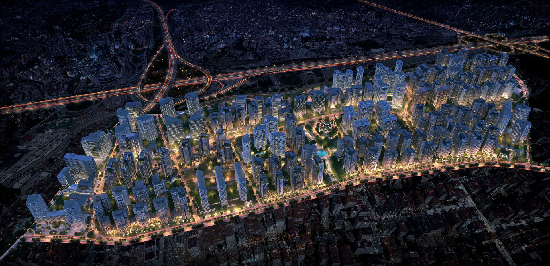
Sham View is a large-scale mixed-use masterplan in Damascus, Syria, designed by SP Architects as an integrated urban framework for residential life, commerce, landscape, public space, and community amenities.
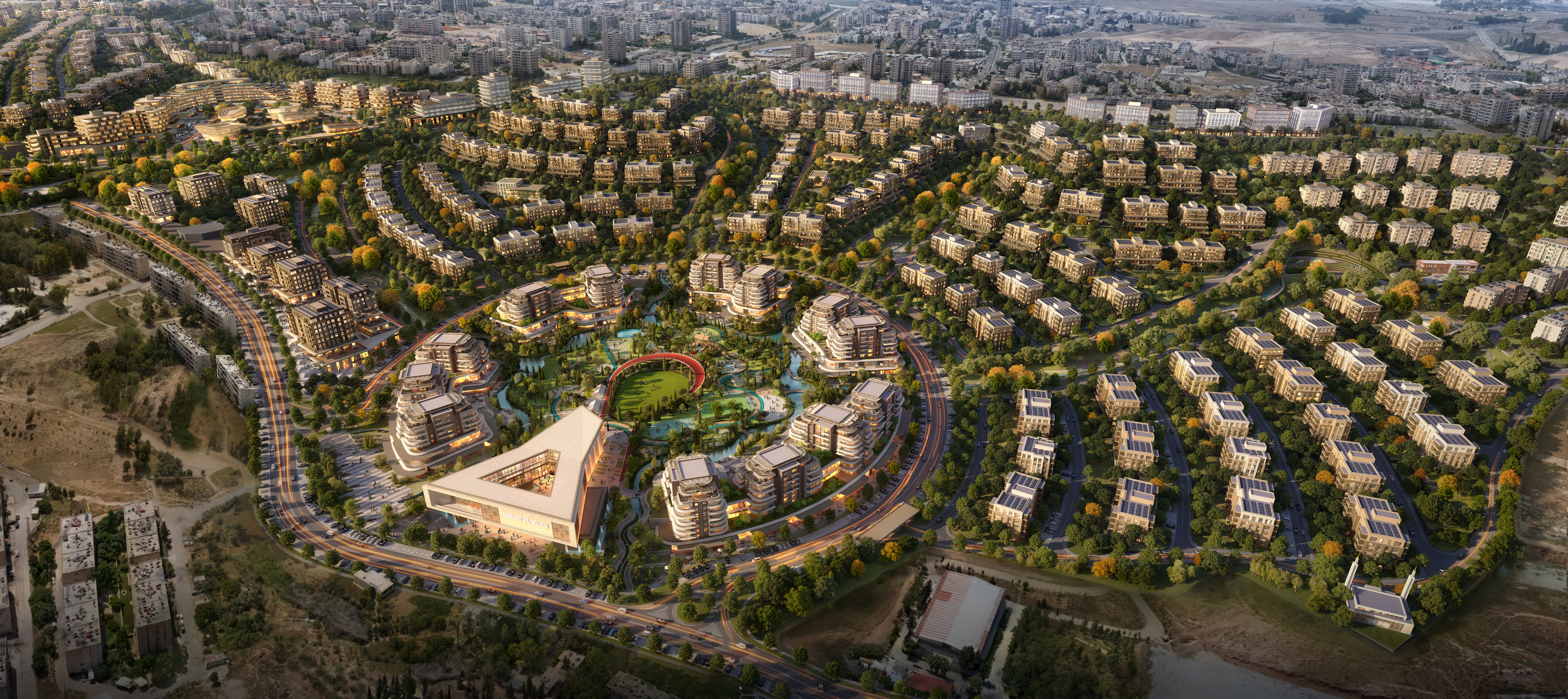
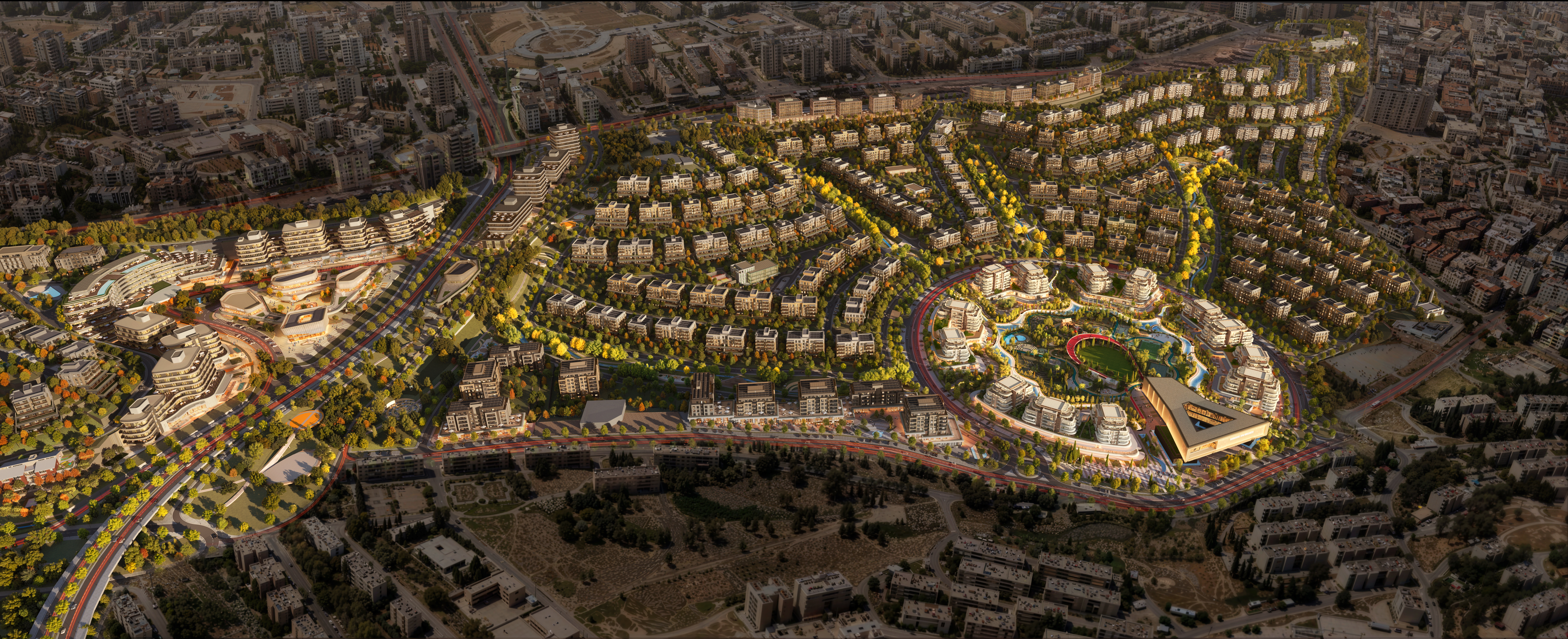
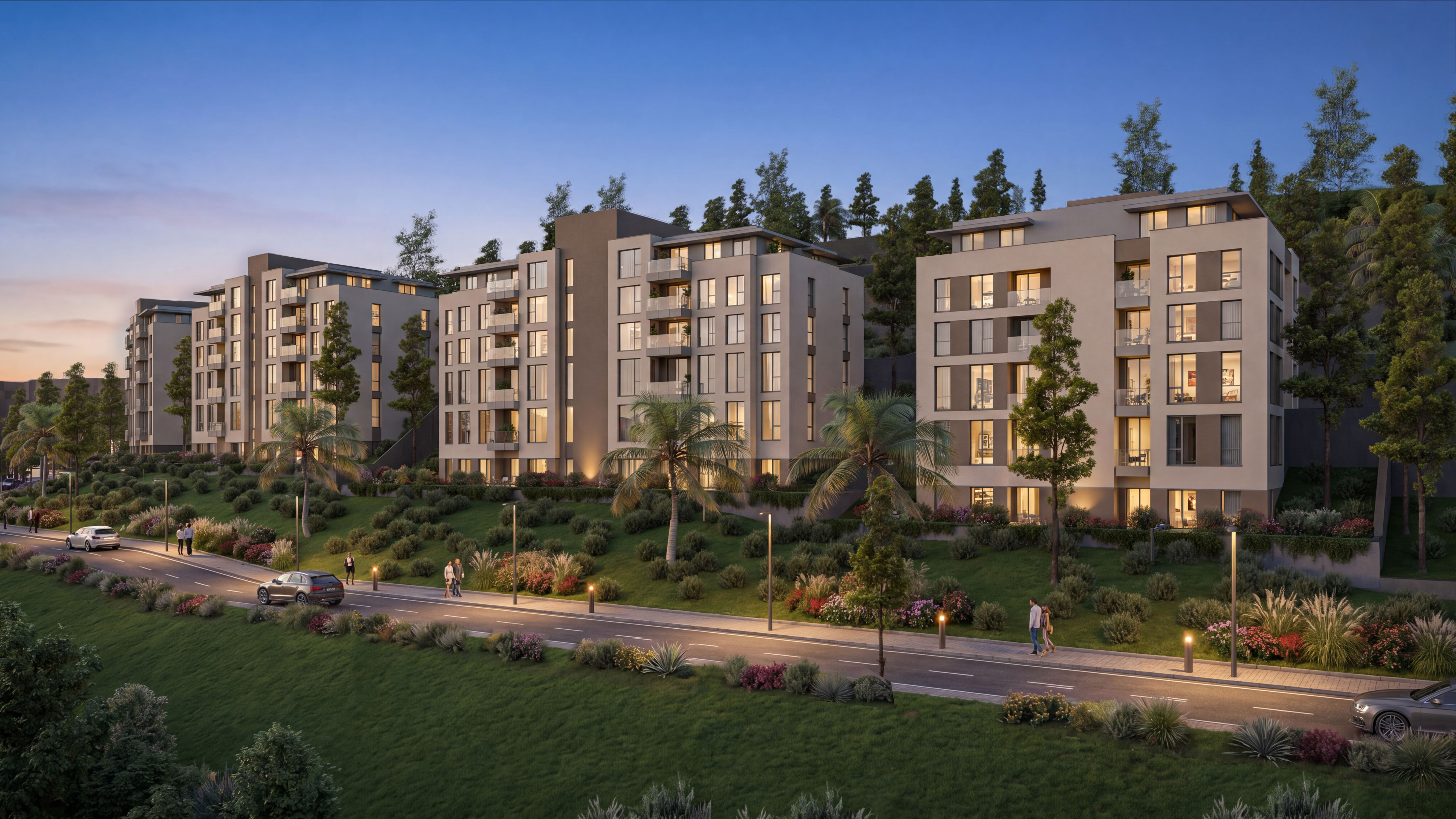
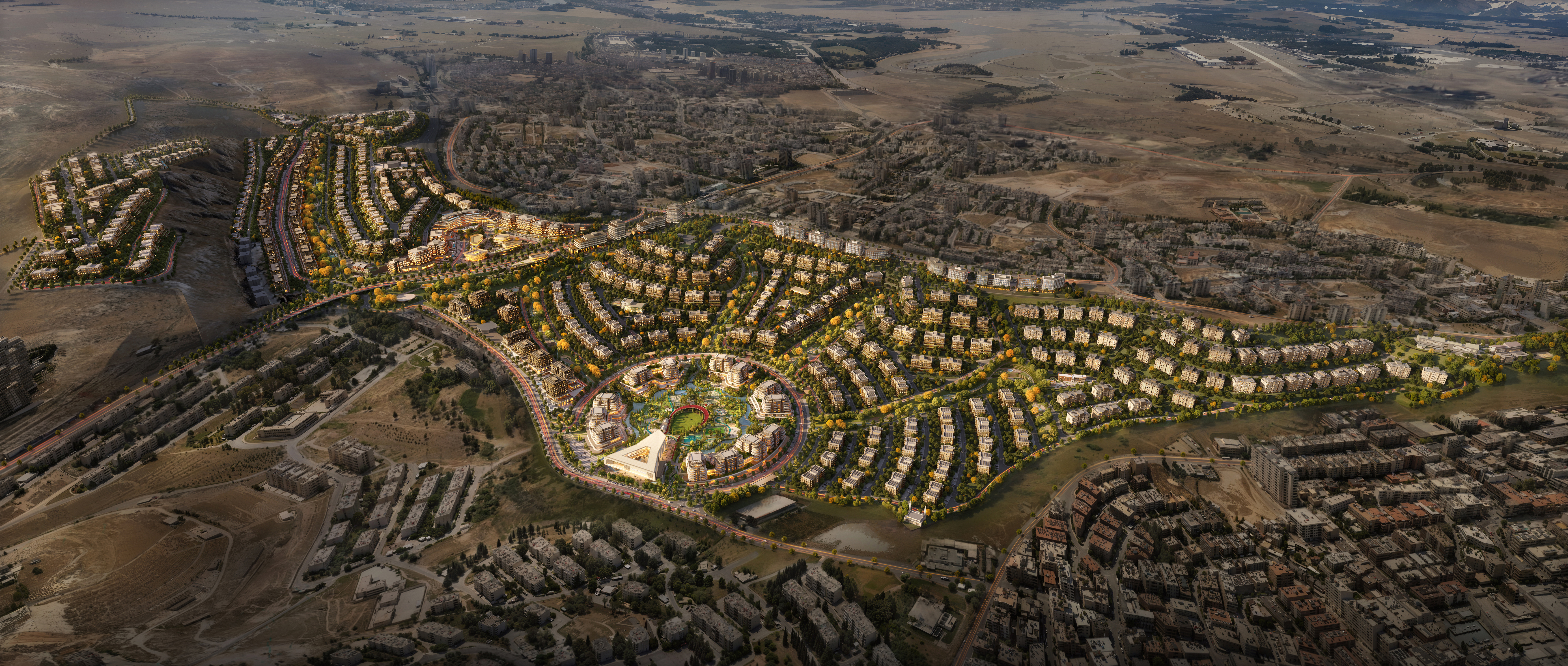
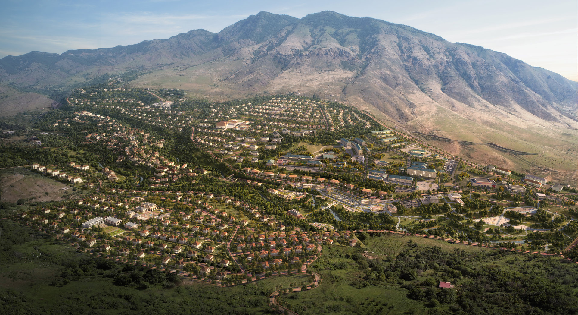
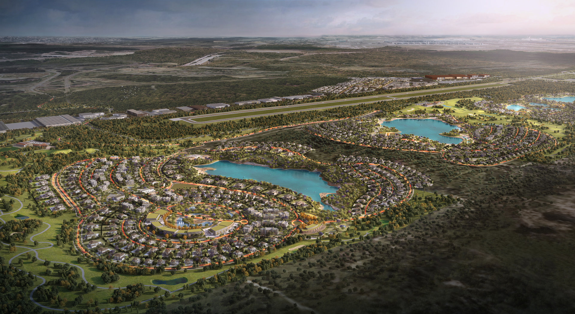
Located northwest of central Damascus and adjacent to Qudsaya, the project covers approximately 1.78 million m². The masterplan responds directly to the natural slopes, valleys, and elevated terrain of the site, using topography as a primary driver of urban form rather than treating it as a constraint.
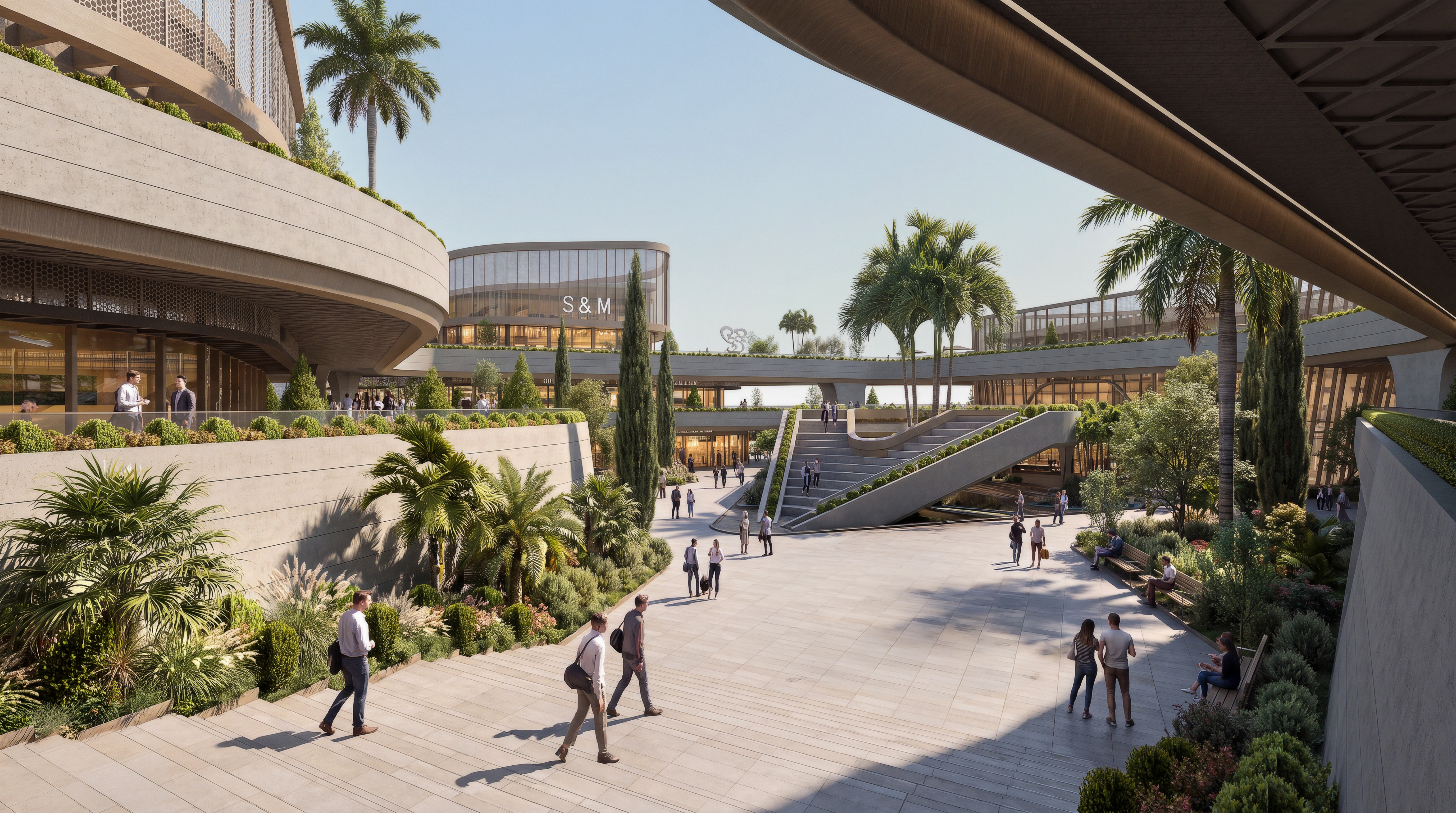
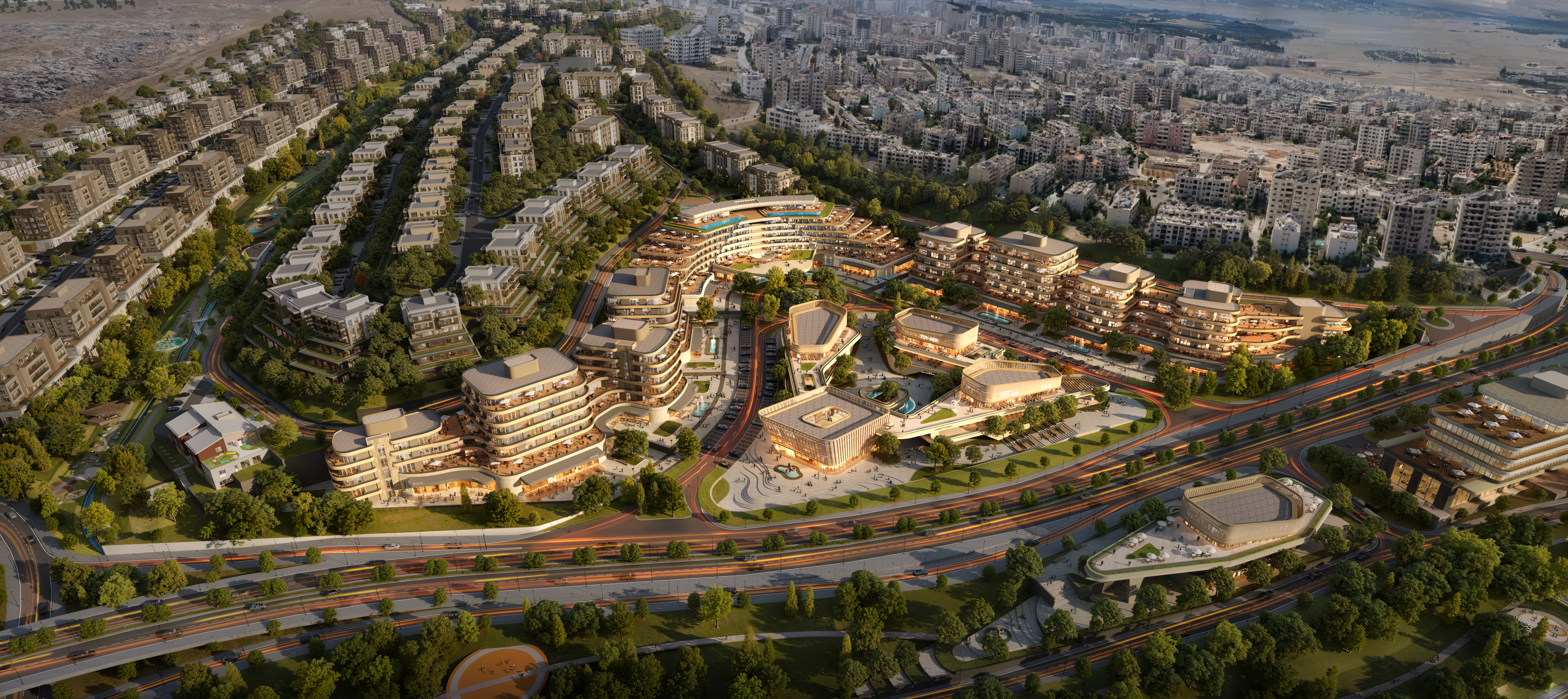
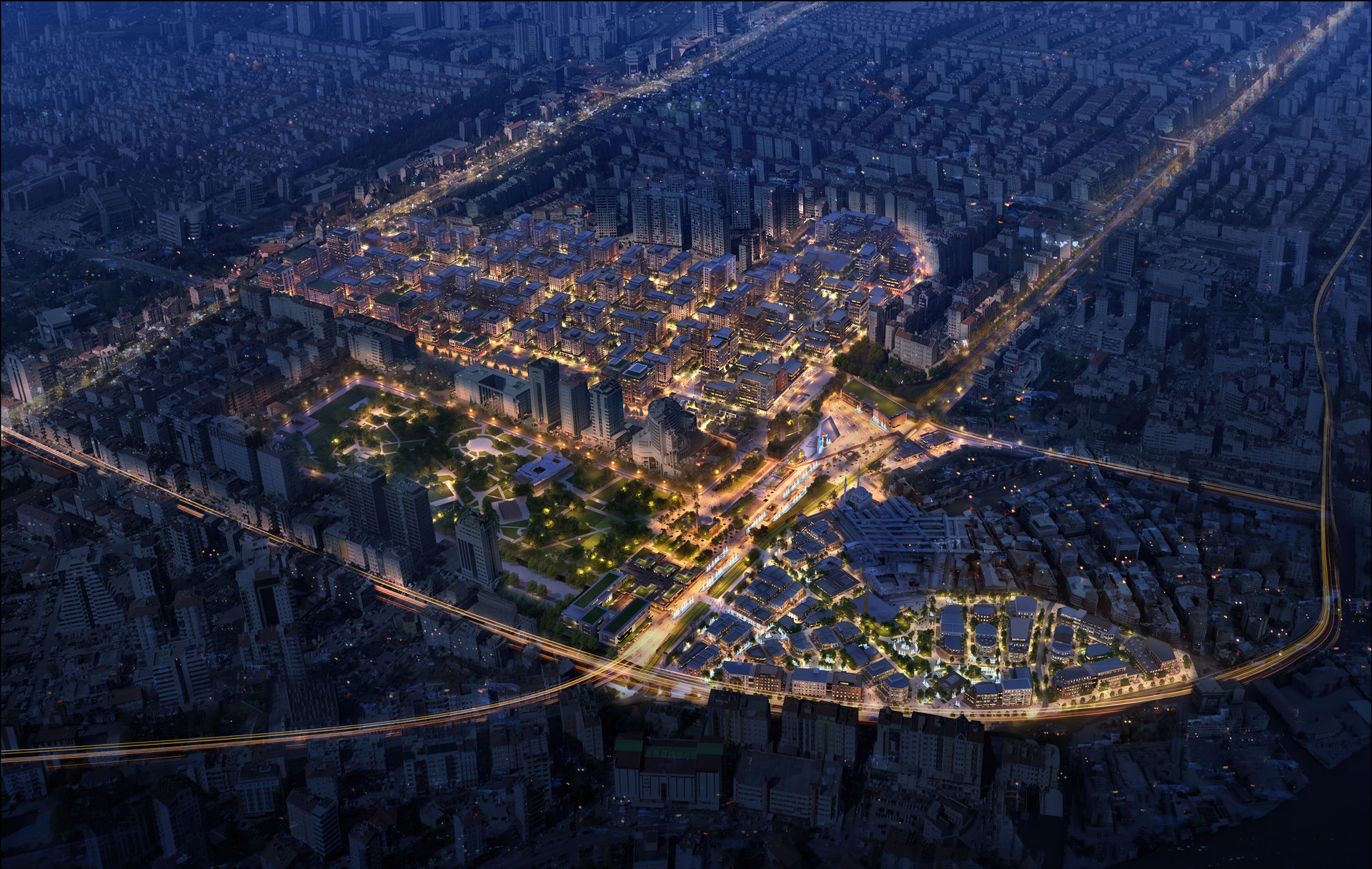
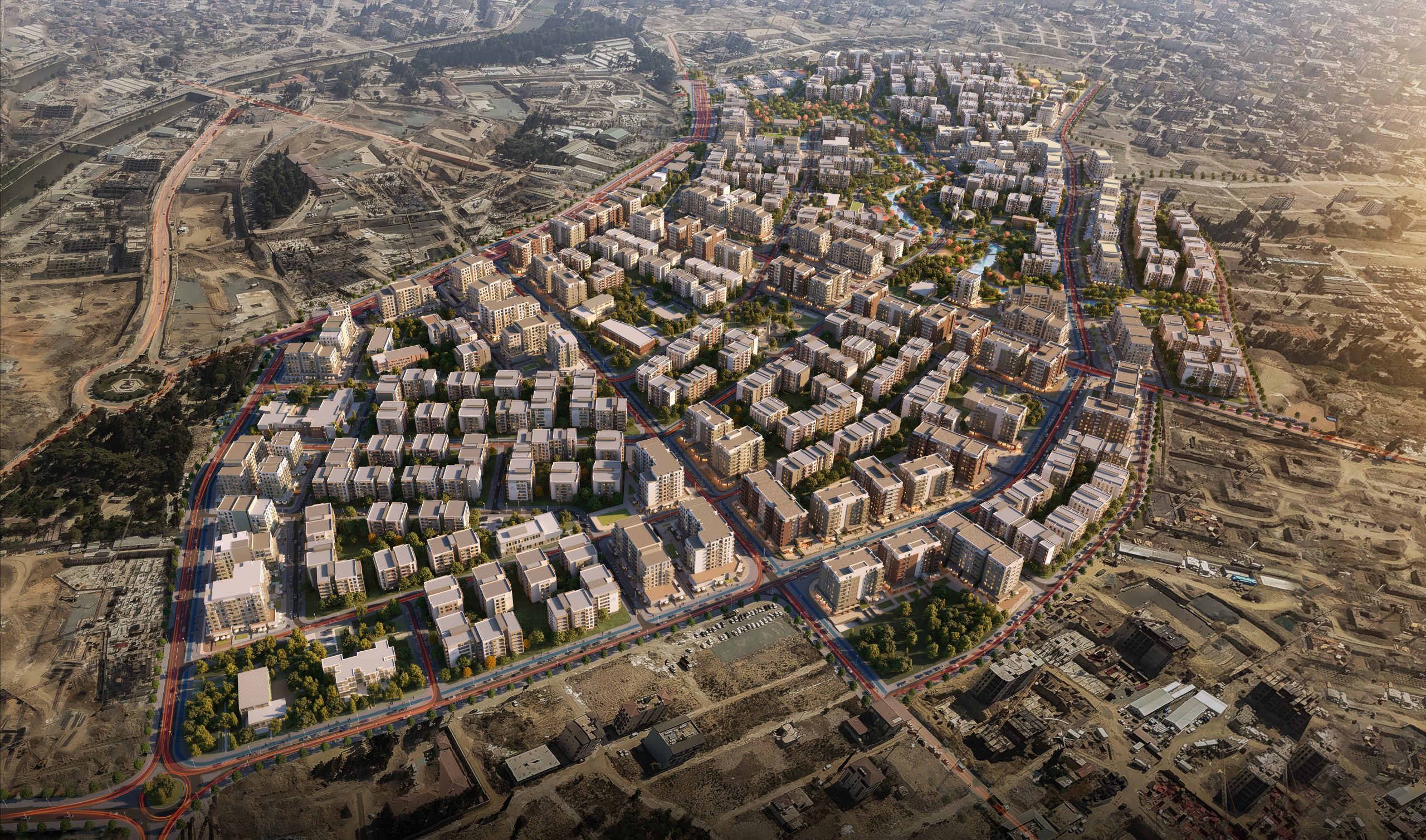
The design organizes Sham View around connected residential neighborhoods, commercial areas, public spaces, green corridors, and community facilities. A central urban connector brings these elements together, creating a continuous relationship between mobility, public life, landscape, and the built environment.
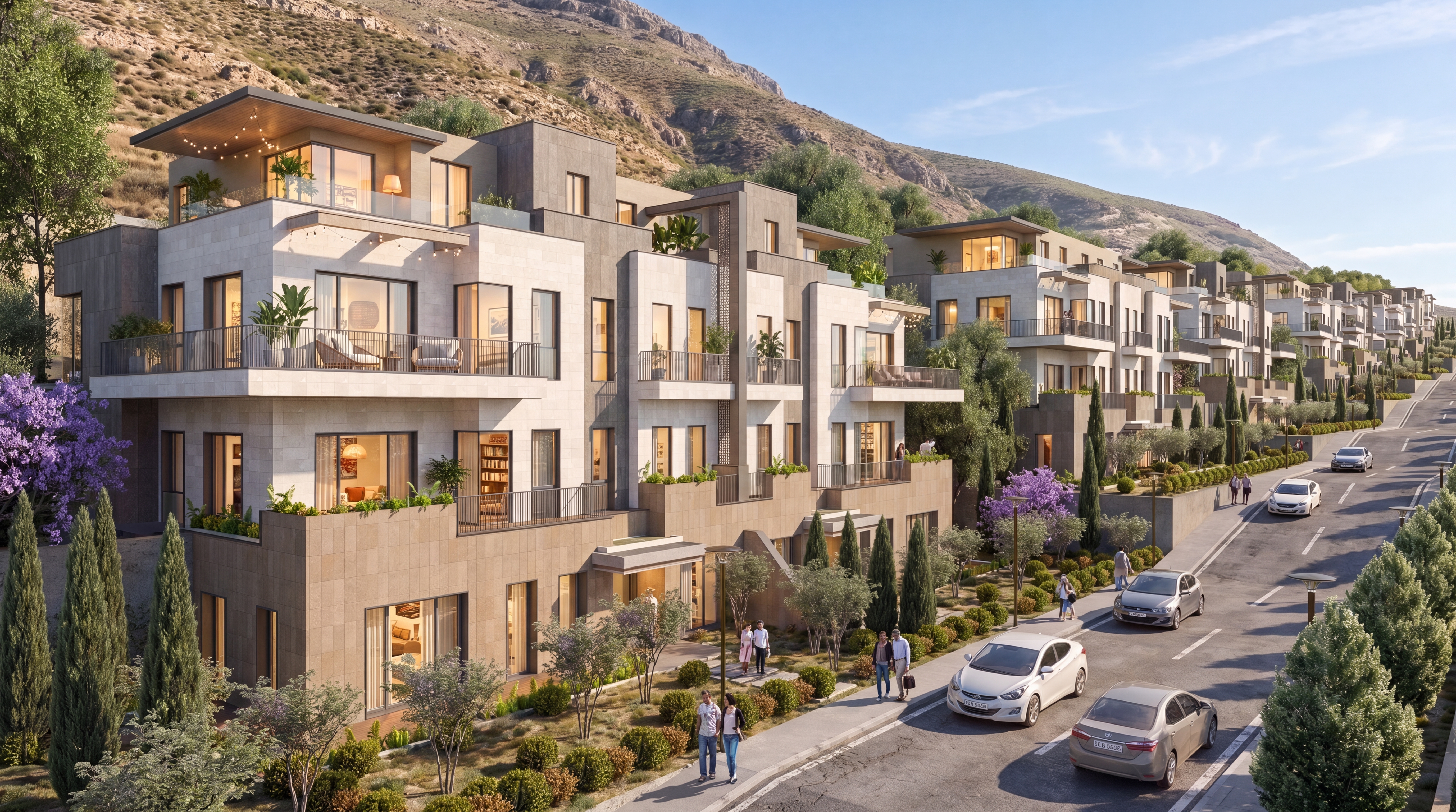
Rather than imposing a uniform development pattern, the masterplan follows the existing morphology of the land to establish distinct urban characters while maintaining a coherent overall identity.
Jabal and Rawda: Two Urban Characters
The Sham View masterplan is structured around two complementary areas: Jabal and Rawda.
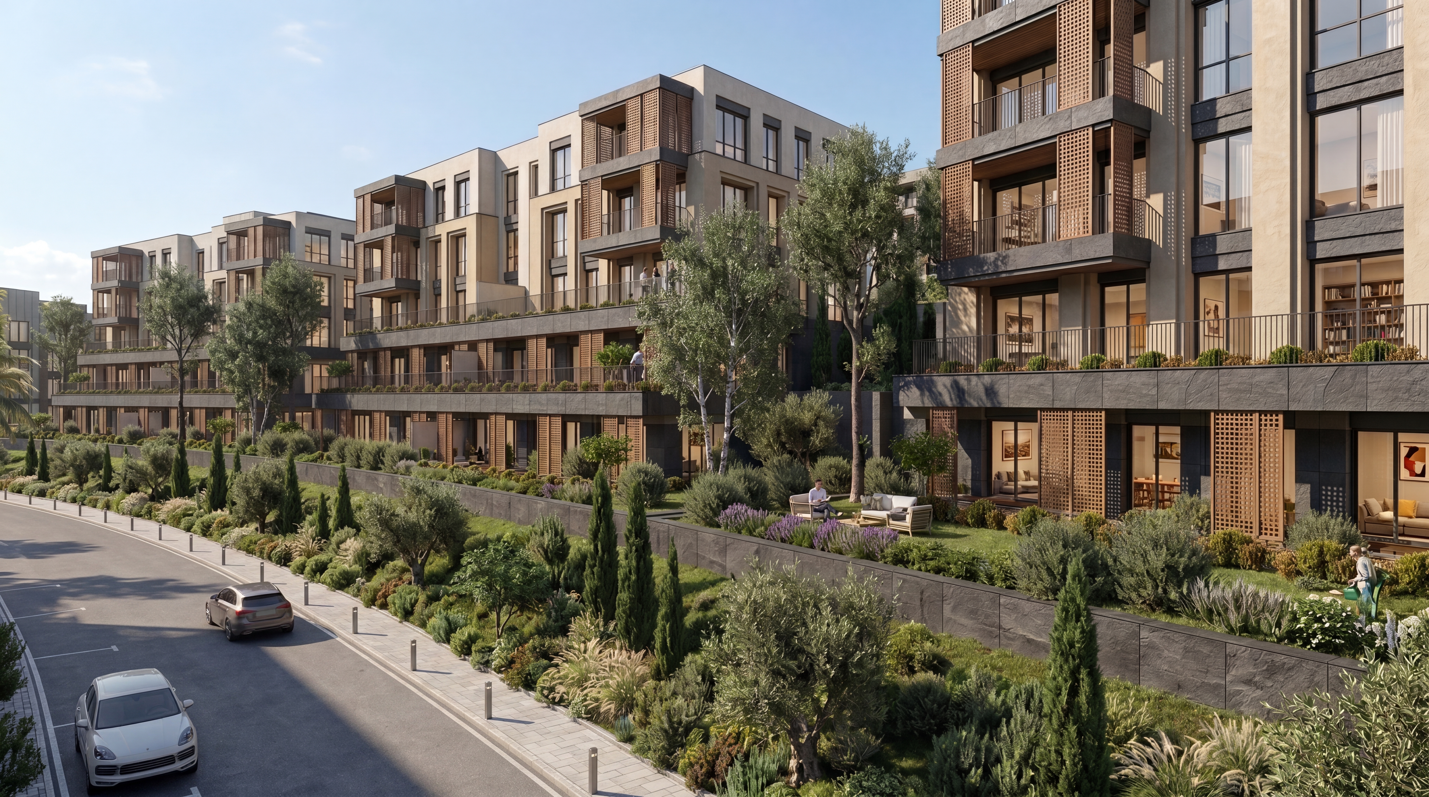
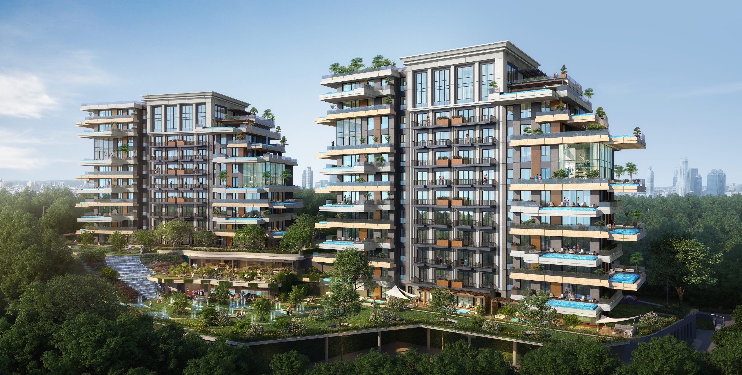
Jabal, located on the western side of the project, is shaped as a terraced hillside district that responds to the elevated topography and panoramic views toward Damascus.
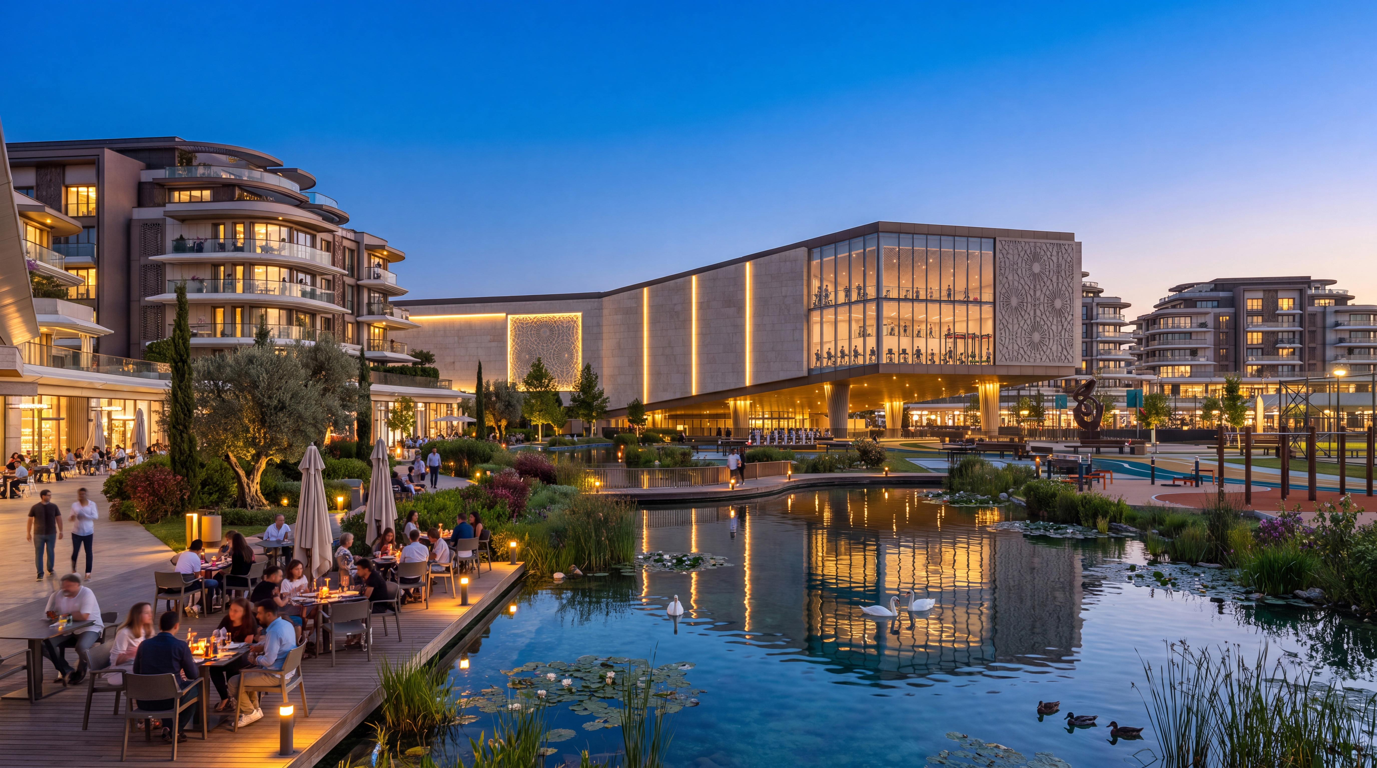
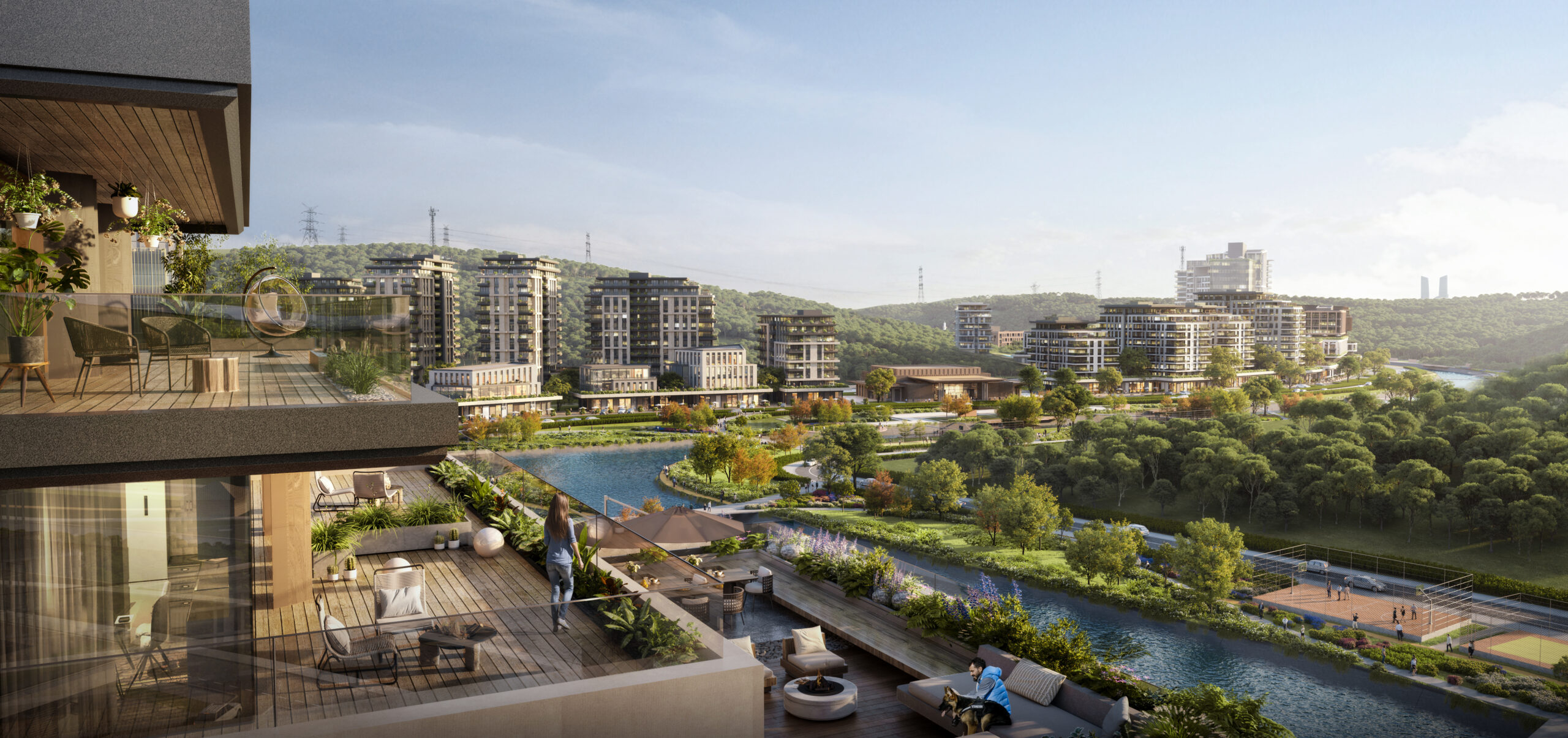
Rawda, located within the natural valley system, forms the green and socially active heart of the development, integrating landscape, recreation, public space, and community life.
A central connector links Jabal and Rawda, creating a unified urban structure across the masterplan.
Landscape-Led Urban Design
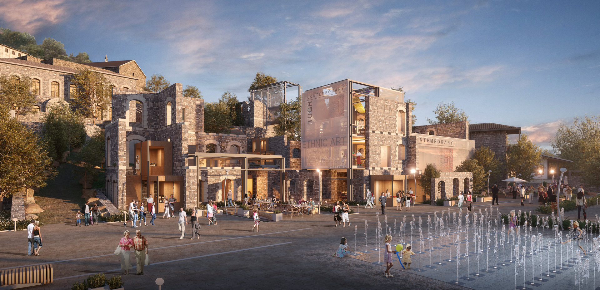
Landscape is a fundamental component of the Sham View masterplan. Green corridors, neighborhood parks, recreational areas, pedestrian routes, and public spaces are integrated into the urban structure to connect architecture with the natural terrain.
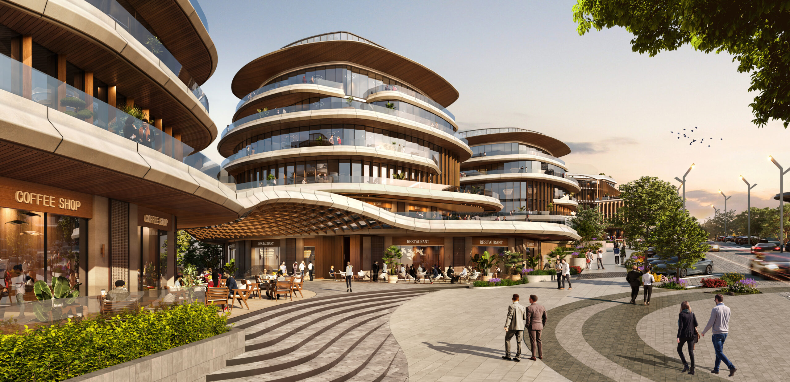
The masterplan combines residential, commercial, educational, healthcare, religious, recreational, and community uses within a connected network of walkable neighborhoods. This approach supports accessibility, social interaction, landscape continuity, and long-term urban development.
A New Urban Framework for Damascus
Through its scale, topography-led planning, and integrated mix of uses, Sham View proposes a new model of urban development for Damascus—one in which architecture, landscape, mobility, and public life are designed as parts of a single urban system.
SHAM VIEW — From Topography to Urban Vision.